
Agriculture
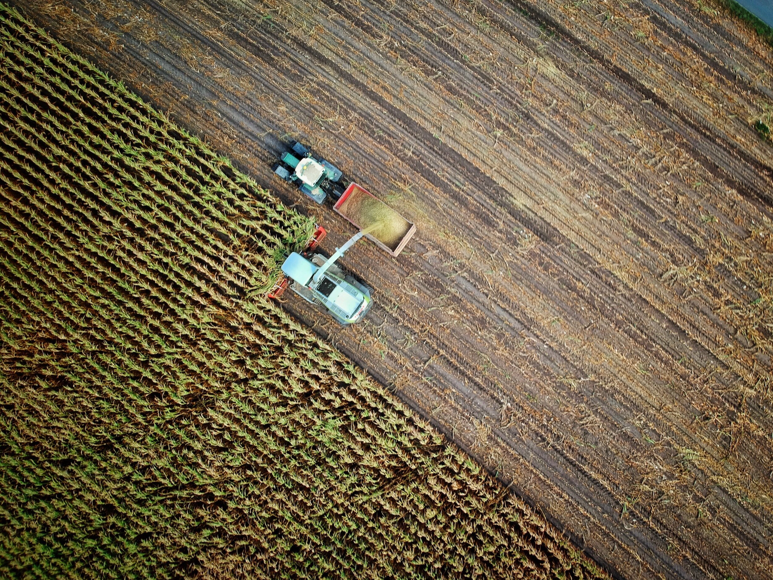
Aerial drone photography services help farmers stay agile in their land management responsibilities. Drone video and photos are extremely effective for scouting land and crop features quickly, leading to smarter resource decisions that cut costs and increase production.
With agriculture drone services, growers can:
Increase crop yields by monitoring multiple issues affecting plant health and growth.
Quickly find and address crop disease, infestation, or poor irrigation not seen in ground-level checks. Analysis tools such as normalized differential vegetation indexing (NDVI) help you zero in, compare, and adjust conditions to maximize yield.
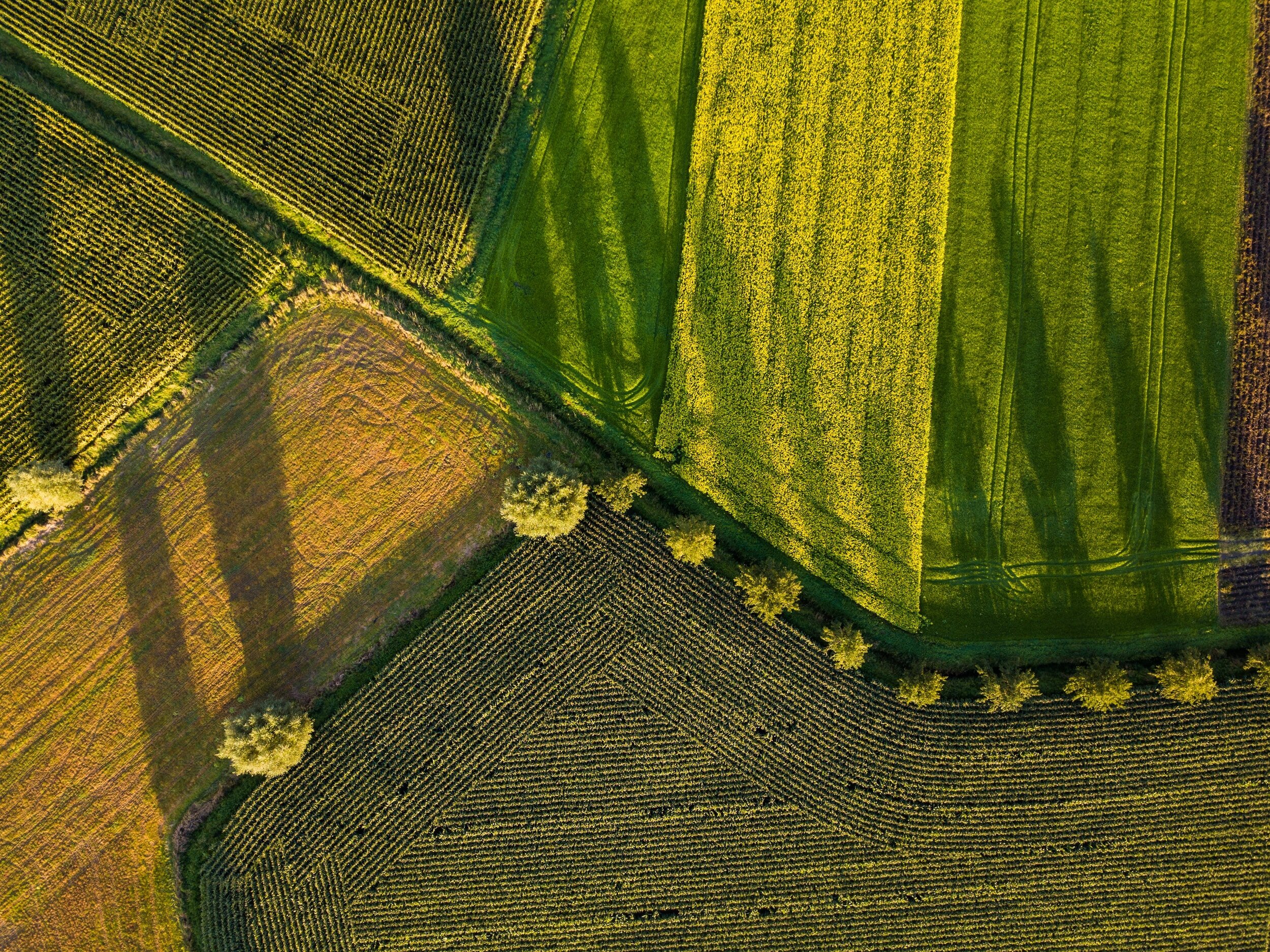
Leverage topographical, thermal, and spectral mapping to monitor and assess crop health faster with more precision over large land areas.
Perform soil & field analysis to assess moisture and fertility levels, identifying irrigation and nitrogen management actions needed to reduce waste.
Plant more efficiently by gathering visual data that maps the terrain and collects information about the topography and soil.
Manage irrigation with a comprehensive and accurate lay of the land. Aerial photography makes it easy to identify slopes and drainage, and drones with thermal cameras can detect both dry and wet ground, allowing farmers to adjust irrigation as needed.